The data presented are collected on-line from the automated station of the Environmental Laboratory of the Municipality of Megara located in the district Meli, Megara.
These data are updated every 10 minutes.
(1) The value of the cumulative precipitation is reset to zero at 08:00 and at 20:00 every day.
(2) The values of the illuminance and irradiance are referred to horizontal plane.
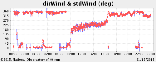
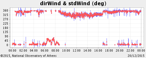
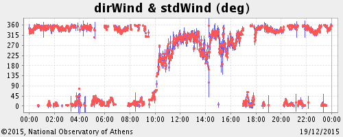
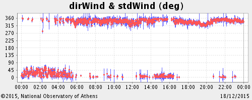
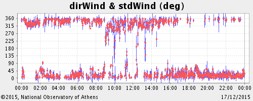
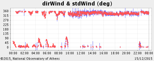
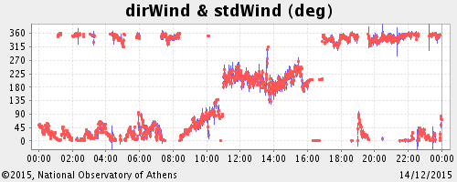
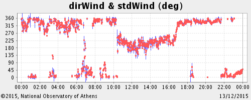
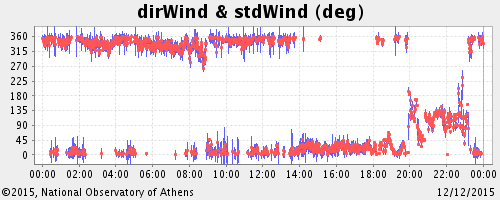
(3) The wind measurments are at 10m above the ground.
Position of Megara Station
Latitude:
37° 59.07' N.
Longitude: 23° 20.60' E.
Height above sea level: 29m
 Senior Researcher
bill@noa.gr
+30 210 8109133
CV
Keep up-to-date with the latest news and updates by subscribing to NOA newsletter!